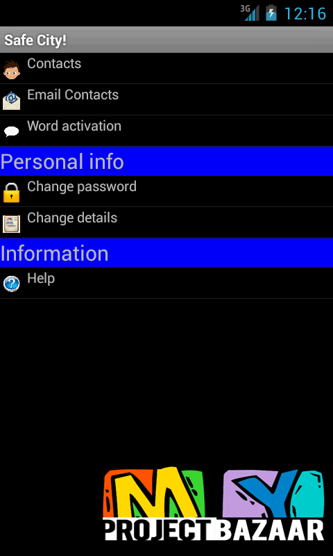
Safe city for using gps and camera
Product Description
Safe city for using gps and camera
Abstract— Safe city for using gps and camera. Vehicle geo-localization in urban areas remains to be challenging problems. For this purpose, Global Positioning System (GPS) receiver is usually the main sensor. But, the use of GPS alone is not sufficient in many urban environments due to wave multi-path. In order to provide accurate and robust localization, < Final Year Projects > GPS has so to be helped with other sensors like dead-reckoned sensors, map data, cameras or LIDAR. In this paper, a new observation of the absolute pose of the vehicle is proposed to back up GPS measurements. The proposed approach exploits a virtual 3D model managed by a 3D geographical information system (3D GIS) and a video camera. The concept is to register the acquired image to the 3D model that is geo-localized. For that, two images have to be matched: the real image and the virtual image. The real image is acquired by the on board camera and provides the real view of the scene viewed by the vehicle. The virtual image is provided by the 3D GIS. The developed method is composed of three parts. The first part consists in detecting and matching the feature points of the real image and of the virtual image. Two methods: SIFT (Scale Invariant Feature Transform) and Harris corner detector are compared. The second part concerns the position computation using POSIT algorithm and the previously matched features set. The third part concerns the data fusion using IMM-UKF (Interacting Multiple Model-Unscented Kalman Filter). The proposed approach has been tested on a real sequence and the obtained results proved the feasibility and robustness of the approach.
Including Packages
Our Specialization
Support Service
Statistical Report

satisfied customers
3,589
Freelance projects
983
sales on Site
11,021
developers
175+Additional Information
| Programming Language |
|---|


