An ontology-enabled framework for a geospatial problem-solving environment
Product Description
An ontology-enabled framework for a geospatial problem-solving environment
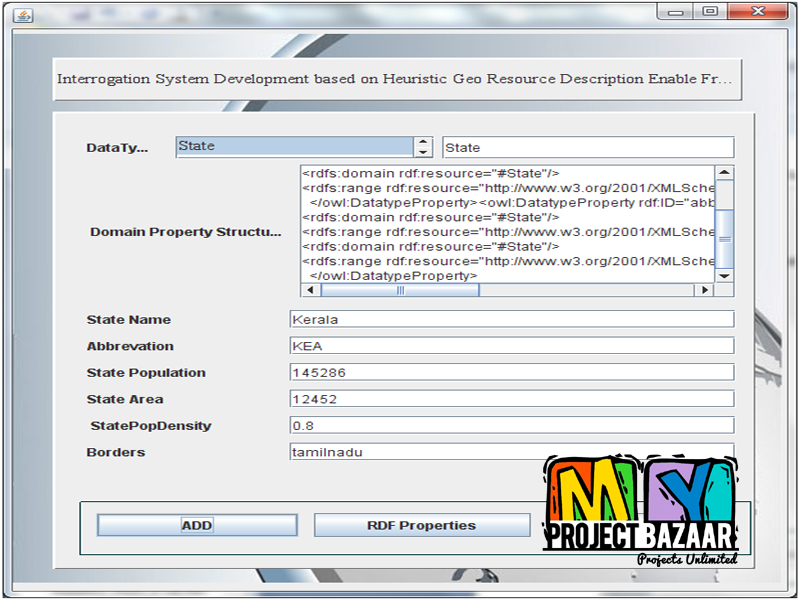
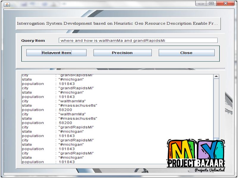
Abstract—Effective planning, response, and recovery (PRR) involving terrorist attacks or natural disasters come with a vast array of information needs. Much of the required information originates from disparate sources in widely differing formats.< Final Year Projects > However, one common attribute the information often possesses is physical location. The organization and visualization of this information can be critical to the success of the PRR mission. Organizing information geospatially is often the most intuitive for the user. In the course of developing a field tool for the U.S. Department of Homeland Security (DHS) Office for Bombing Prevention, a geospatial integrated problem solving environment software framework was developed by Oak Ridge National Laboratory. This framework has proven useful as well in a number of other DHS, Department of Defense, and Department of Energy projects. An overview of the software architecture along with application examples are presented.
Including Packages
Our Specialization
Support Service
Statistical Report

satisfied customers
3,589
Freelance projects
983
sales on Site
11,021
developers
175+Additional Information
| Domains | |
|---|---|
| Programming Language |


