Adding Geospatial Data Provenance into SDI—A Service-Oriented Approach
Product Description
Adding Geospatial Data Provenance into SDI—A Service-Oriented Approach
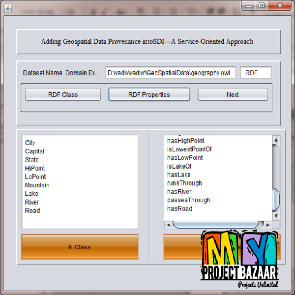
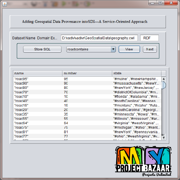
Abstract— Geospatial data provenance records the derivation history of a geospatial data product. It is important in evaluating the quality of data products. In a Geospatial Web Service environment where data are often disseminated and processed widely and frequently in an unpredictable way, it is even more important in identifying original data sources, tracing workflows, updating or reproducing scientific results, and evaluating reliability and quality of geospatial data products. Geospatial data provenance has become a fundamental issue in establishing the spatial data infrastructure < Final Year Projects 2016 > SDI.Investigates how to support provenance awareness in SDI. It addresses key issues including provenance modeling, capturing, and sharing in a SDI enabled by interoperable geospatial services. A reference architecture for provenance tracking is proposed, which can accommodate geospatial feature provenance at different levels of granularity. Open standards from ISO, World Wide Web Consortium (W3C), and OGC are leveraged to facilitate the interoperability. At the feature type level, this paper proposes extensions of W3C PROVXML for ISO 19115 lineage and “Parent Level” provenance registration in the geospatial catalog service. At the feature instance level, light-weight lineage information entities for feature provenance are proposed and managed by Web Feature Services. Experiments demonstrate the applicability of the approach for creating provenance awareness in an interoperable geospatial service-oriented environment.
Including Packages
Our Specialization
Support Service
Statistical Report

satisfied customers
3,589
Freelance projects
983
sales on Site
11,021
developers
175+Additional Information
| Domains | |
|---|---|
| Programming Language |


